
Supporting local governments to make smart conservation decisions
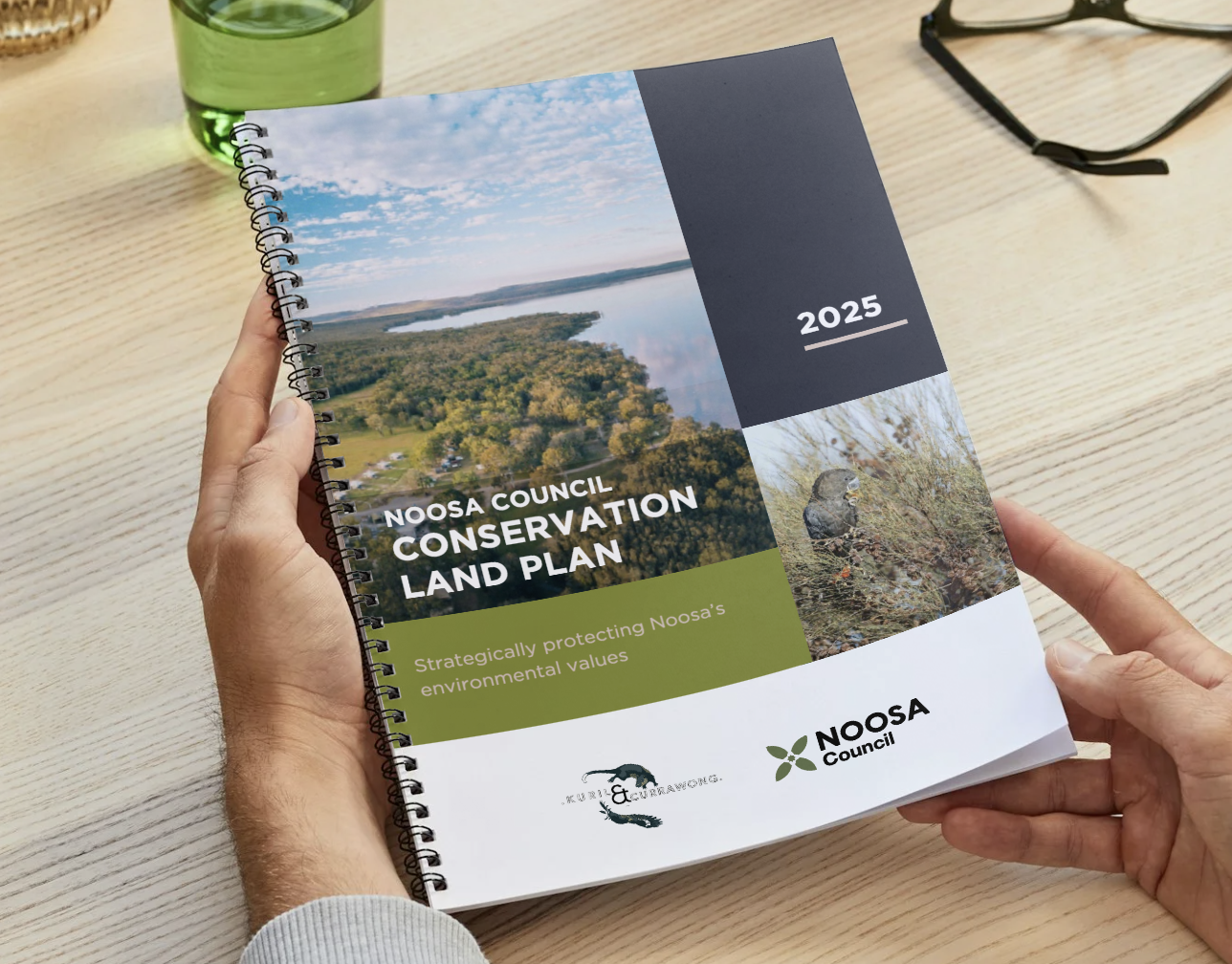
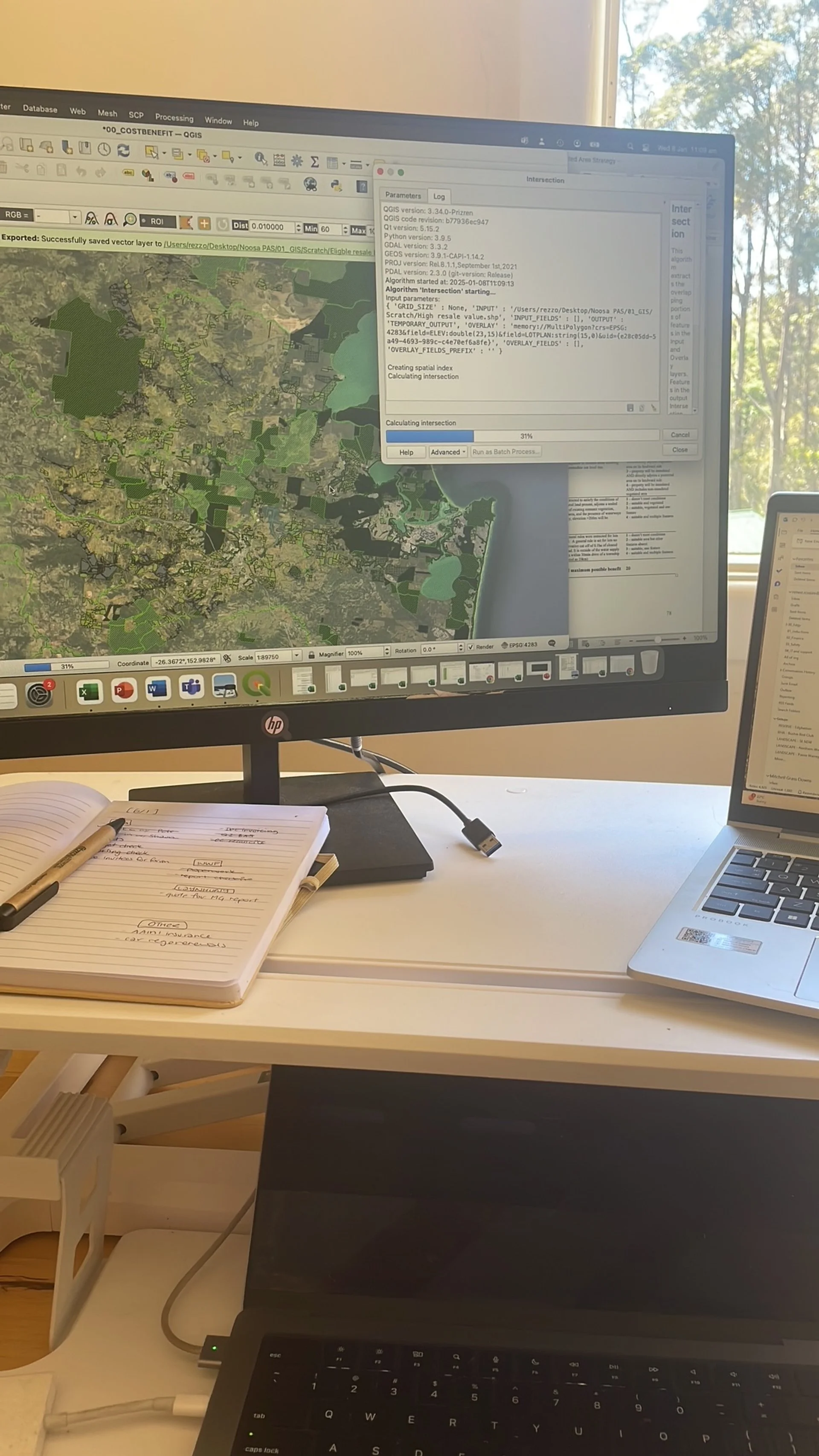
Noosa Shire Council are environmental innovators - utilising their own environment fund to support the acquisition and management of a Council-led protected area network that supports that of the State and Federal reserve system. Kuril & Currawong were contracted to complete a spatial analysis and build a GIS dashboard to aggregate locally and state-held data about ecosystems, threatened species and ecological processes. In the process, we reviewed and assisted in the construction of revised protected area strategies for the Shire at a time of major strategic development.
We supported this project by:
Reviewing key Noosa environmental documents and strategies, highlighting alignments and gaps, and aligning them into a revised Conservation Land Plan to support the delivery of the new Environment Strategy
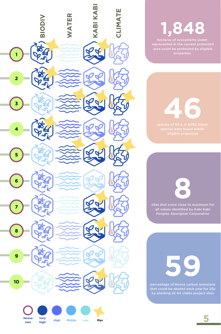
Hosting workshops with Councillors and Kabi Kabi Traditional Owners to identify key values for the Shire and how the Plan could support their conservation and restoration
Delivering a Technical Report and high-level public-facing summary to communicate the main findings and outcomes for the revised Conservation Land Plan
Build a custom-made ESRI Dashboard to host all data and provide ‘one-stop-shop’ property profiles to Noosa Council staff reducing technical barriers needed to interrogate spatial data supporting the Plan
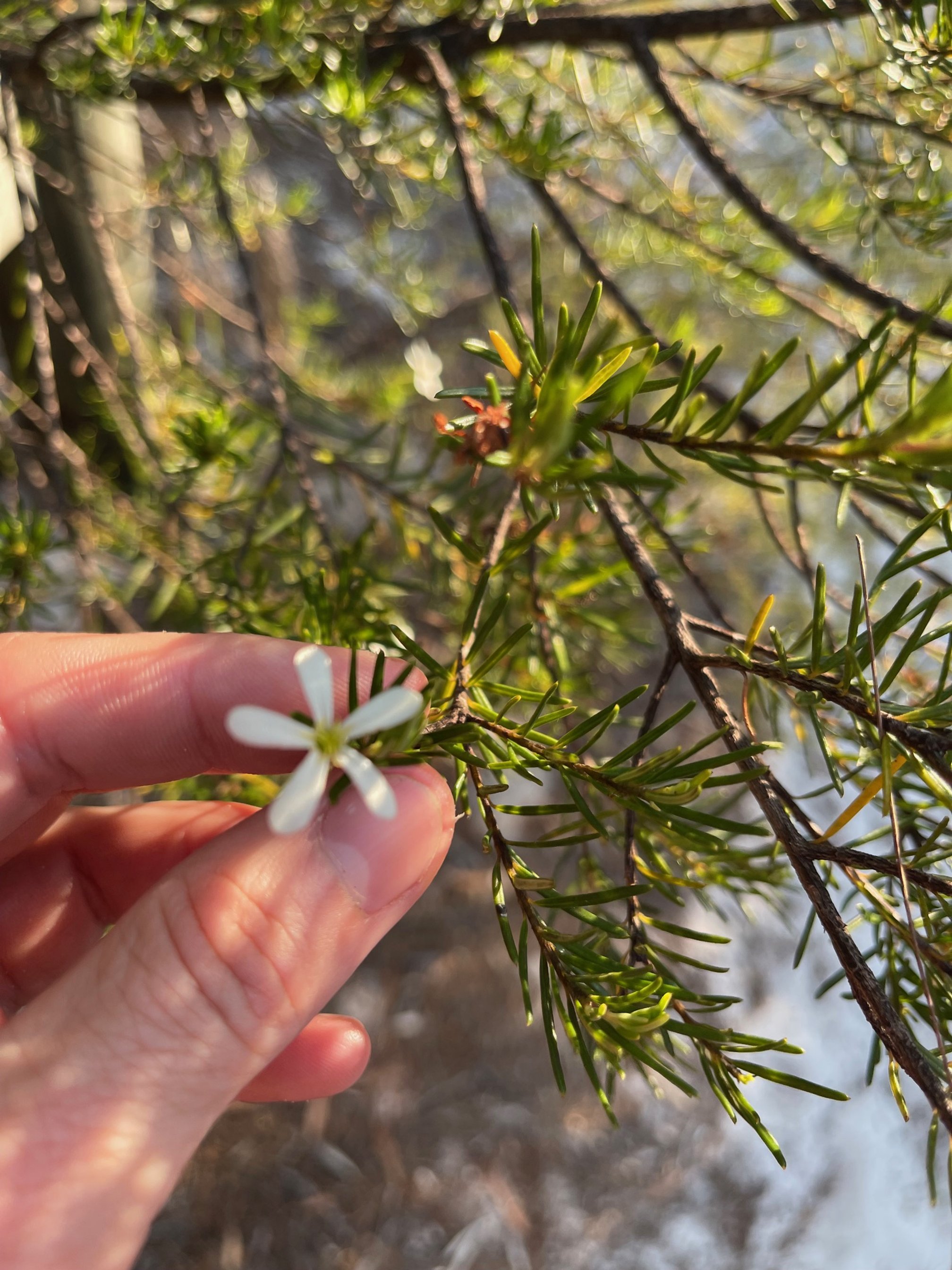
Kabi Kabi Country